Field near Hall Farm
Introduction
The photograph on this page of Field near Hall Farm by David Wright as part of the Geograph project.
The Geograph project started in 2005 with the aim of publishing, organising and preserving representative images for every square kilometre of Great Britain, Ireland and the Isle of Man.

There are currently over 7.5m images from over 14,400 individuals and you can help contribute to the project by visiting https://www.geograph.org.uk
Field near Hall Farm
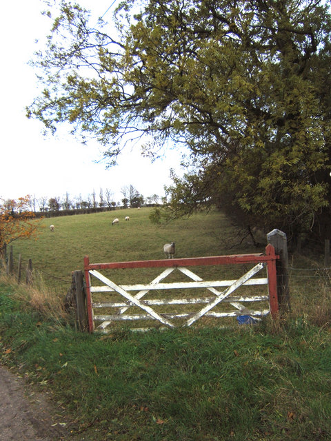
Image: © David Wright Taken: 21 Nov 2006
This field is at the corner formed by the B1204 and the Horkstow Road and forms part of the DEFRA Open Access area. http://cwr.defra.gov.uk/Default.aspx?Module=CountryWalkDetails&Site=2786
Images are licensed for reuse under creativecommons.org/licenses/by-sa/2.0
Image Location


Leaflet Map data © OpenStreetMap
Latitude
53.659104
Longitude
-0.509427