Seanor Lane, Lower Pilsley
Introduction
The photograph on this page of Seanor Lane, Lower Pilsley by Nikki Mahadevan as part of the Geograph project.
The Geograph project started in 2005 with the aim of publishing, organising and preserving representative images for every square kilometre of Great Britain, Ireland and the Isle of Man.

There are currently over 7.5m images from over 14,400 individuals and you can help contribute to the project by visiting https://www.geograph.org.uk
Seanor Lane, Lower Pilsley
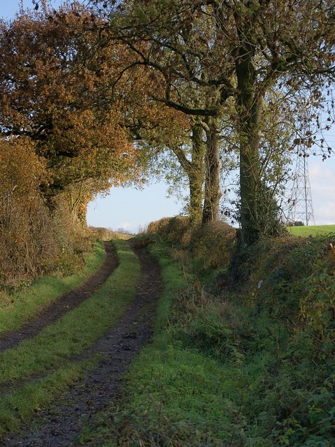
Image: © Nikki Mahadevan Taken: 21 Nov 2006
The western end of Seanor Lane is metalled but, from Bridle Path Farm onward, the eastern end (part of which is seen here) is constructed of compacted stones and earth.
Images are licensed for reuse under creativecommons.org/licenses/by-sa/2.0
Image Location
Latitude
53.170587
Longitude
-1.377645