St Peter's Vicarage
Introduction
The photograph on this page of St Peter's Vicarage by Gerald England as part of the Geograph project.
The Geograph project started in 2005 with the aim of publishing, organising and preserving representative images for every square kilometre of Great Britain, Ireland and the Isle of Man.

There are currently over 7.5m images from over 14,400 individuals and you can help contribute to the project by visiting https://www.geograph.org.uk
St Peter's Vicarage
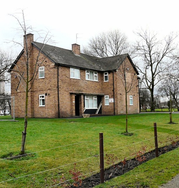
Image: © Gerald England Taken: 24 Feb 2012
Originally the vicarage of St Peter's church, the house was boarded up for many years. It is now owned and used by St Peter’s Partnerships, a registered charity which provides support and services within the St Peter’s ward of Ashton-under-Lyne, in Greater Manchester.http://web.archive.org/web/20120312055819/http://www.stpeterspartnerships.org/frequently-asked-questions.html
Images are licensed for reuse under creativecommons.org/licenses/by-sa/2.0
Image Location
Latitude
53.484072
Longitude
-2.104694