Blocked Public Footpath
Introduction
The photograph on this page of Blocked Public Footpath by Hywel Williams as part of the Geograph project.
The Geograph project started in 2005 with the aim of publishing, organising and preserving representative images for every square kilometre of Great Britain, Ireland and the Isle of Man.

There are currently over 7.5m images from over 14,400 individuals and you can help contribute to the project by visiting https://www.geograph.org.uk
Blocked Public Footpath
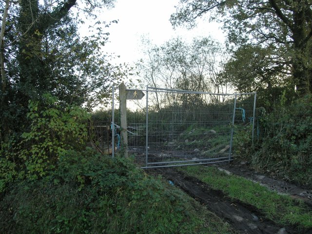
Image: © Hywel Williams Taken: 4 Nov 2006
The access to two public rights of way has been blocked by this fence. It looks temporary and there was quite a bit of evidence of heavy vehicles having recently accessed the site so some nearby building work may have necessitated the temporary closure of the paths.
Images are licensed for reuse under creativecommons.org/licenses/by-sa/2.0
Image Location


Leaflet Map data © OpenStreetMap
Latitude
51.801966
Longitude
-4.014405