Shand's Road
Introduction
The photograph on this page of Shand's Road by Hywel Williams as part of the Geograph project.
The Geograph project started in 2005 with the aim of publishing, organising and preserving representative images for every square kilometre of Great Britain, Ireland and the Isle of Man.

There are currently over 7.5m images from over 14,400 individuals and you can help contribute to the project by visiting https://www.geograph.org.uk
Shand's Road
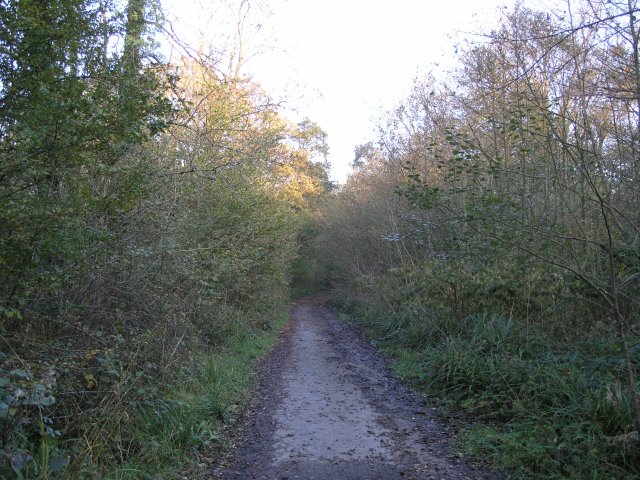
Image: © Hywel Williams Taken: 4 Nov 2006
This road runs through the countryside north east of Ammanford. It's now blocked off so that no traffic can now use it and is now looking decidedly derelict. It was once used by trucks to access nearby opencast workings to avoid public roads.
Images are licensed for reuse under creativecommons.org/licenses/by-sa/2.0
Image Location


Leaflet Map data © OpenStreetMap
Latitude
51.802065
Longitude
-4.008608