Falkirk Road
Introduction
The photograph on this page of Falkirk Road by Richard Webb as part of the Geograph project.
The Geograph project started in 2005 with the aim of publishing, organising and preserving representative images for every square kilometre of Great Britain, Ireland and the Isle of Man.

There are currently over 7.5m images from over 14,400 individuals and you can help contribute to the project by visiting https://www.geograph.org.uk
Falkirk Road
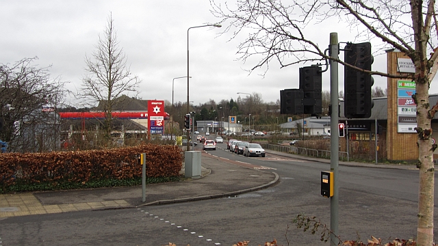
Image: © Richard Webb Taken: 27 Feb 2012
Retail shed country between Linlithgow Bridge and the town centre. The road used to be the A9 when it started in Edinburgh, but is now the A803.
Images are licensed for reuse under creativecommons.org/licenses/by-sa/2.0
Image Location
Latitude
55.97574
Longitude
-3.622746