Derelict Railway Bridge
Introduction
The photograph on this page of Derelict Railway Bridge by Hywel Williams as part of the Geograph project.
The Geograph project started in 2005 with the aim of publishing, organising and preserving representative images for every square kilometre of Great Britain, Ireland and the Isle of Man.

There are currently over 7.5m images from over 14,400 individuals and you can help contribute to the project by visiting https://www.geograph.org.uk
Derelict Railway Bridge
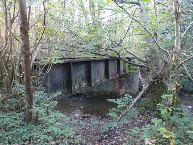
Image: © Hywel Williams Taken: 4 Nov 2006
A derelict railway bridge is one of the only signs left that a railway used to run along this route. Not part of the main railway itself, which ran along the course occupied today by a private road, this bridge served a short siding used by the nearby tinplate works and mines.
Images are licensed for reuse under creativecommons.org/licenses/by-sa/2.0
Image Location


Leaflet Map data © OpenStreetMap
Latitude
51.799518
Longitude
-3.999792