2012 : A Mendip panorama from East End
Introduction
The photograph on this page of 2012 : A Mendip panorama from East End by Maurice Pullin as part of the Geograph project.
The Geograph project started in 2005 with the aim of publishing, organising and preserving representative images for every square kilometre of Great Britain, Ireland and the Isle of Man.

There are currently over 7.5m images from over 14,400 individuals and you can help contribute to the project by visiting https://www.geograph.org.uk
2012 : A Mendip panorama from East End
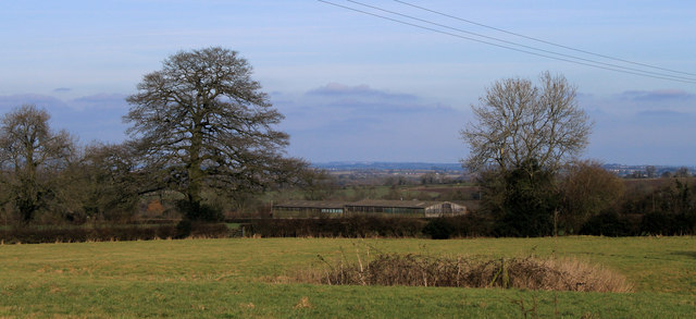
Image: © Maurice Pullin Taken: 26 Feb 2012
Overlooking Franklyn's Farm and Cutler's Green in the direction of distant Midsomer Norton. The Mendip Hills perform a service and hide it.
Images are licensed for reuse under creativecommons.org/licenses/by-sa/2.0
Image Location
Latitude
51.261756
Longitude
-2.58081