Awaiting Development, Lower Dicker (1)
Introduction
The photograph on this page of Awaiting Development, Lower Dicker (1) by Simon Carey as part of the Geograph project.
The Geograph project started in 2005 with the aim of publishing, organising and preserving representative images for every square kilometre of Great Britain, Ireland and the Isle of Man.

There are currently over 7.5m images from over 14,400 individuals and you can help contribute to the project by visiting https://www.geograph.org.uk
Awaiting Development, Lower Dicker (1)
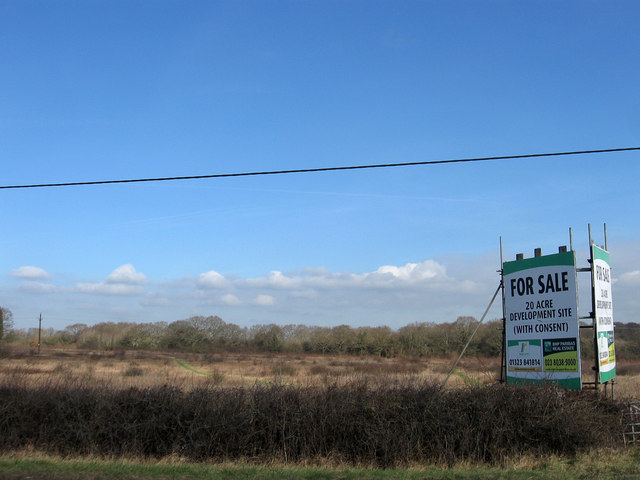
Image: © Simon Carey Taken: 26 Feb 2012
This twenty acre site currently has planning permission for an extension to Image as well as a new access road from the A22 to replace the narrow Image In the meantime it seems to be used by the locals as a place to walk the dogs in. See also Image and Image
Images are licensed for reuse under creativecommons.org/licenses/by-sa/2.0
Image Location
Latitude
50.884298
Longitude
0.21038