2012 : B3135 looking north west near Wells Hill Bottom Farm
Introduction
The photograph on this page of 2012 : B3135 looking north west near Wells Hill Bottom Farm by Maurice Pullin as part of the Geograph project.
The Geograph project started in 2005 with the aim of publishing, organising and preserving representative images for every square kilometre of Great Britain, Ireland and the Isle of Man.

There are currently over 7.5m images from over 14,400 individuals and you can help contribute to the project by visiting https://www.geograph.org.uk
2012 : B3135 looking north west near Wells Hill Bottom Farm
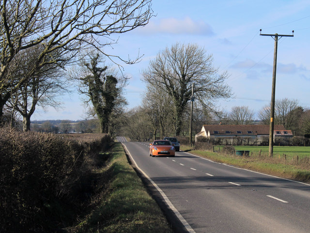
Image: © Maurice Pullin Taken: 26 Feb 2012
The Mendip Nature Research Station is a few hundred yards to the right along the old Roman Road. The B3135 makes a pleasant drive west across the Mendip Hills ending with a visit to the Cheddar Gorge.
Images are licensed for reuse under creativecommons.org/licenses/by-sa/2.0
Image Location
Latitude
51.241217
Longitude
-2.588287