Rectory Lane Junction with Lower Burnham Road & Water Tower
Introduction
The photograph on this page of Rectory Lane Junction with Lower Burnham Road & Water Tower by Roger Jones as part of the Geograph project.
The Geograph project started in 2005 with the aim of publishing, organising and preserving representative images for every square kilometre of Great Britain, Ireland and the Isle of Man.

There are currently over 7.5m images from over 14,400 individuals and you can help contribute to the project by visiting https://www.geograph.org.uk
Rectory Lane Junction with Lower Burnham Road & Water Tower
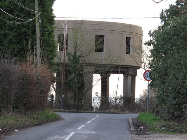
Image: © Roger Jones Taken: 26 Feb 2012
The former water tower seems rather large when approached from this small rural lane, and dominates the picture rather in the manner of an alien space ship. There is some controversy regarding the recent cutting of windows in this historic 1930's building. See: http://archaeologydataservice.ac.uk/catalogue/adsdata/arch-439-1/dissemination/pdf/essexcou1-41489_1.pdf
Images are licensed for reuse under creativecommons.org/licenses/by-sa/2.0
Image Location


Leaflet Map data © OpenStreetMap
Latitude
51.655334
Longitude
0.730119