Cycle route by the A2
Introduction
The photograph on this page of Cycle route by the A2 by Robin Webster as part of the Geograph project.
The Geograph project started in 2005 with the aim of publishing, organising and preserving representative images for every square kilometre of Great Britain, Ireland and the Isle of Man.

There are currently over 7.5m images from over 14,400 individuals and you can help contribute to the project by visiting https://www.geograph.org.uk
Cycle route by the A2
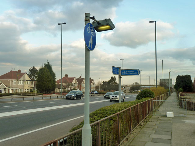
Image: © Robin Webster Taken: 26 Feb 2012
The cycle route comes behind the camera from Falconwood, Greenwich and Central London and turns right to Blackfen and Bexleyheath.
Images are licensed for reuse under creativecommons.org/licenses/by-sa/2.0
Image Location
Latitude
51.455841
Longitude
0.087028