Saffron Brook
Introduction
The photograph on this page of Saffron Brook by Mat Fascione as part of the Geograph project.
The Geograph project started in 2005 with the aim of publishing, organising and preserving representative images for every square kilometre of Great Britain, Ireland and the Isle of Man.

There are currently over 7.5m images from over 14,400 individuals and you can help contribute to the project by visiting https://www.geograph.org.uk
Saffron Brook
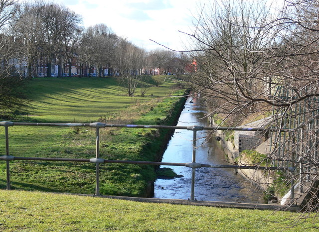
Image: © Mat Fascione Taken: 19 Feb 2012
Behind the trees on the left is Hughenden Drive, and to the right of the brook is the disused St Mary's Allotments. The open area of grass runs between Saffron Lane and Aylestone Road.
Images are licensed for reuse under creativecommons.org/licenses/by-sa/2.0
Image Location
Latitude
52.614089
Longitude
-1.1398