Eagle Down
Introduction
The photograph on this page of Eagle Down by Derek Harper as part of the Geograph project.
The Geograph project started in 2005 with the aim of publishing, organising and preserving representative images for every square kilometre of Great Britain, Ireland and the Isle of Man.

There are currently over 7.5m images from over 14,400 individuals and you can help contribute to the project by visiting https://www.geograph.org.uk
Eagle Down
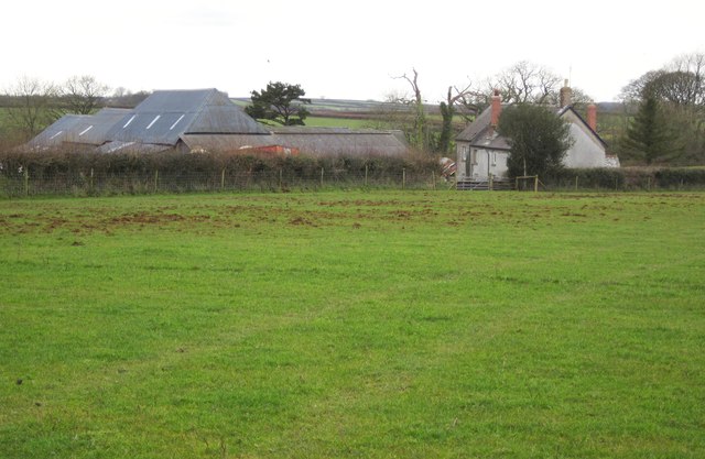
Image: © Derek Harper Taken: 20 Feb 2012
A closer view of the farm seen in Image, albeit under much gloomier weather conditions. This is from Ashreigney Footpath 3.
Images are licensed for reuse under creativecommons.org/licenses/by-sa/2.0
Image Location


Leaflet Map data © OpenStreetMap
Latitude
50.899406
Longitude
-3.958126