Southern Defence Ditch , Kenilworth Castle
Introduction
The photograph on this page of Southern Defence Ditch , Kenilworth Castle by Nigel Mykura as part of the Geograph project.
The Geograph project started in 2005 with the aim of publishing, organising and preserving representative images for every square kilometre of Great Britain, Ireland and the Isle of Man.

There are currently over 7.5m images from over 14,400 individuals and you can help contribute to the project by visiting https://www.geograph.org.uk
Southern Defence Ditch , Kenilworth Castle
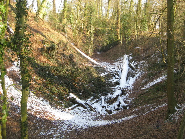
Image: © Nigel Mykura Taken: 11 Feb 2012
Originally the castle was defended all the way round by water-filled meres and moats. One of the main access points into the castle was across the dam of the mere which was also the tiltyard. The southern end of the dam had an extra outer line of earth and stone defences known as the Brays. This ditch is part of those defences.
Images are licensed for reuse under creativecommons.org/licenses/by-sa/2.0
Image Location


Leaflet Map data © OpenStreetMap
Latitude
52.344826
Longitude
-1.5907