Barn converted to garage, Low Lorton
Introduction
The photograph on this page of Barn converted to garage, Low Lorton by Rose and Trev Clough as part of the Geograph project.
The Geograph project started in 2005 with the aim of publishing, organising and preserving representative images for every square kilometre of Great Britain, Ireland and the Isle of Man.

There are currently over 7.5m images from over 14,400 individuals and you can help contribute to the project by visiting https://www.geograph.org.uk
Barn converted to garage, Low Lorton
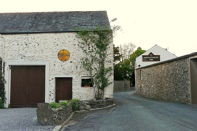
Image: © Rose and Trev Clough Taken: 10 May 2011
The barn is part of a private residence, originally a farmhouse http://www.imagesofengland.org.uk/details/default.aspx?id=72672 . On the B5289, which narrows towards Image . For a closer look at the yellow sign on the wall, see Image .
Images are licensed for reuse under creativecommons.org/licenses/by-sa/2.0
Image Location
Latitude
54.621372
Longitude
-3.314055