Dewlands Farm viewed from Red Hill
Introduction
The photograph on this page of Dewlands Farm viewed from Red Hill by David Redwood as part of the Geograph project.
The Geograph project started in 2005 with the aim of publishing, organising and preserving representative images for every square kilometre of Great Britain, Ireland and the Isle of Man.

There are currently over 7.5m images from over 14,400 individuals and you can help contribute to the project by visiting https://www.geograph.org.uk
Dewlands Farm viewed from Red Hill
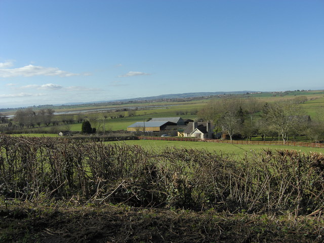
Image: © David Redwood Taken: 25 Feb 2012
Coming down the lane from the higher ground at Curry Rivel, one suddenly sees the flat panorama of West Sedge Moor criss-crossed with many drains and ditches.
Images are licensed for reuse under creativecommons.org/licenses/by-sa/2.0
Image Location


Leaflet Map data © OpenStreetMap
Latitude
51.032885
Longitude
-2.88527