Westerwood Farm (ruin) [2]
Introduction
The photograph on this page of Westerwood Farm (ruin) [2] by Robert Murray as part of the Geograph project.
The Geograph project started in 2005 with the aim of publishing, organising and preserving representative images for every square kilometre of Great Britain, Ireland and the Isle of Man.

There are currently over 7.5m images from over 14,400 individuals and you can help contribute to the project by visiting https://www.geograph.org.uk
Westerwood Farm (ruin) [2]
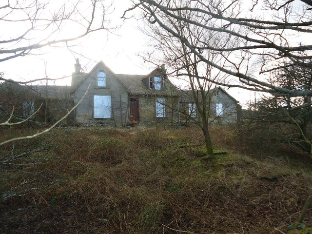
Image: © Robert Murray Taken: 15 Feb 2012
View of the farmhouse from the Antonine Wall - which in this stretch looks very much like a farm track.
Images are licensed for reuse under creativecommons.org/licenses/by-sa/2.0
Image Location
Latitude
55.973547
Longitude
-3.987234