Unfinished development, Magheralin (1)
Introduction
The photograph on this page of Unfinished development, Magheralin (1) by Albert Bridge as part of the Geograph project.
The Geograph project started in 2005 with the aim of publishing, organising and preserving representative images for every square kilometre of Great Britain, Ireland and the Isle of Man.

There are currently over 7.5m images from over 14,400 individuals and you can help contribute to the project by visiting https://www.geograph.org.uk
Unfinished development, Magheralin (1)
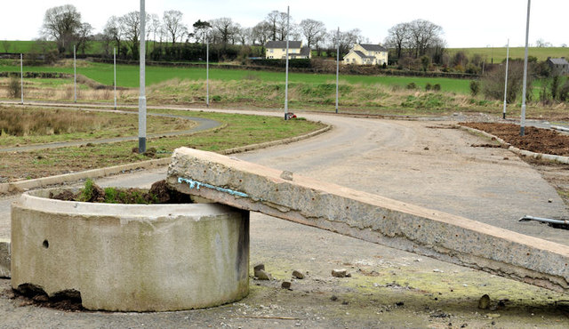
Image: © Albert Bridge Taken: 25 Feb 2012
See Image (May 2007). The proposal to build 154 new houses between the Steps Road and the Lurgan Road never went beyond the spine road. This is the Steps Road end. See also Image
Images are licensed for reuse under creativecommons.org/licenses/by-sa/2.0
Image Location
Latitude
54.466654
Longitude
-6.252731