Entrance to Whitelee Wind Farm Construction Site
Introduction
The photograph on this page of Entrance to Whitelee Wind Farm Construction Site by Iain Thompson as part of the Geograph project.
The Geograph project started in 2005 with the aim of publishing, organising and preserving representative images for every square kilometre of Great Britain, Ireland and the Isle of Man.

There are currently over 7.5m images from over 14,400 individuals and you can help contribute to the project by visiting https://www.geograph.org.uk
Entrance to Whitelee Wind Farm Construction Site
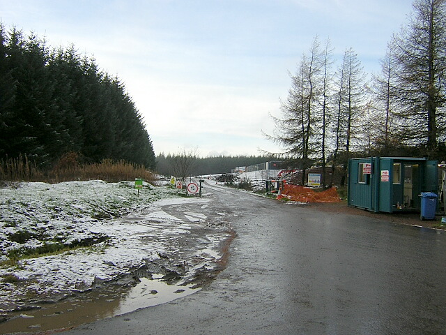
Image: © Iain Thompson Taken: 19 Nov 2006
Almost the same view as the first geograph for this square but looks onto construction site rather than forest.
Images are licensed for reuse under creativecommons.org/licenses/by-sa/2.0
Image Location
Latitude
55.69545
Longitude
-4.17009