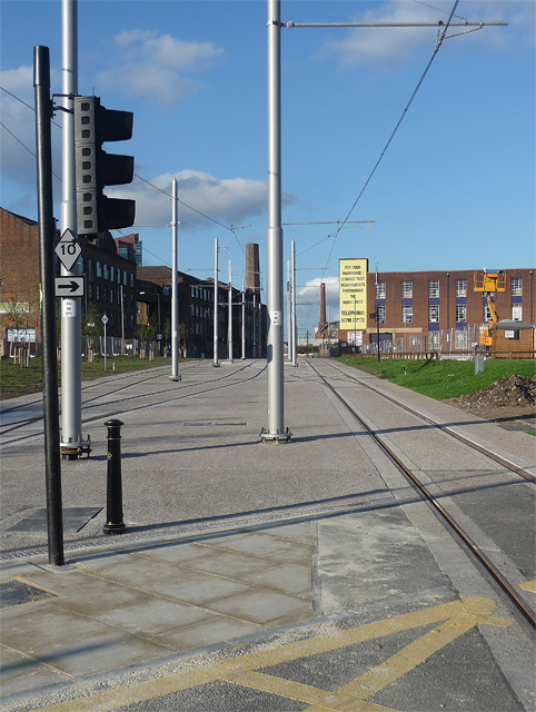
Tram development, Baird Street, Manchester
Introduction
The photograph on this page of Tram development, Baird Street, Manchester by Stephen Richards as part of the Geograph project.
The Geograph project started in 2005 with the aim of publishing, organising and preserving representative images for every square kilometre of Great Britain, Ireland and the Isle of Man.
There are currently over 7.5m images from over 14,400 individuals and you can help contribute to the project by visiting https://www.geograph.org.uk

Image: © Stephen Richards Taken: 24 Jul 2011
Fairly sure this will be the East Manchester line which will run to Droylsden (by 2012) and Ashton-under-Lyne (by 2013-14). It will continue the line from the current terminus at Piccadilly - stationary trams were visible almost immediately behind the photographer. It neatly threads its way between existing buildings or over patches of wasteland, although it has entailed the loss of Baird Street to vehicles (probably no great loss as it was a short road which no longer served much purpose).

