Carter's Farm
Introduction
The photograph on this page of Carter's Farm by Simon Carey as part of the Geograph project.
The Geograph project started in 2005 with the aim of publishing, organising and preserving representative images for every square kilometre of Great Britain, Ireland and the Isle of Man.

There are currently over 7.5m images from over 14,400 individuals and you can help contribute to the project by visiting https://www.geograph.org.uk
Carter's Farm
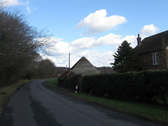
Image: © Simon Carey Taken: 19 Feb 2012
Lying to the south of the small hamlet of Gun Hill. The lane is a 'C' road that links Horam to the A22 near Golden Cross.
Images are licensed for reuse under creativecommons.org/licenses/by-sa/2.0
Image Location


Leaflet Map data © OpenStreetMap
Latitude
50.905339
Longitude
0.220053