Sandown Road Allotments
Introduction
The photograph on this page of Sandown Road Allotments by Anne Burgess as part of the Geograph project.
The Geograph project started in 2005 with the aim of publishing, organising and preserving representative images for every square kilometre of Great Britain, Ireland and the Isle of Man.

There are currently over 7.5m images from over 14,400 individuals and you can help contribute to the project by visiting https://www.geograph.org.uk
Sandown Road Allotments
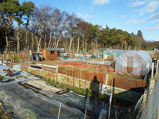
Image: © Anne Burgess Taken: 24 Feb 2012
Viewed from on top of the nearby fence, hence the prominent shadow.
Images are licensed for reuse under creativecommons.org/licenses/by-sa/2.0
Image Location
Latitude
57.580984
Longitude
-3.90064