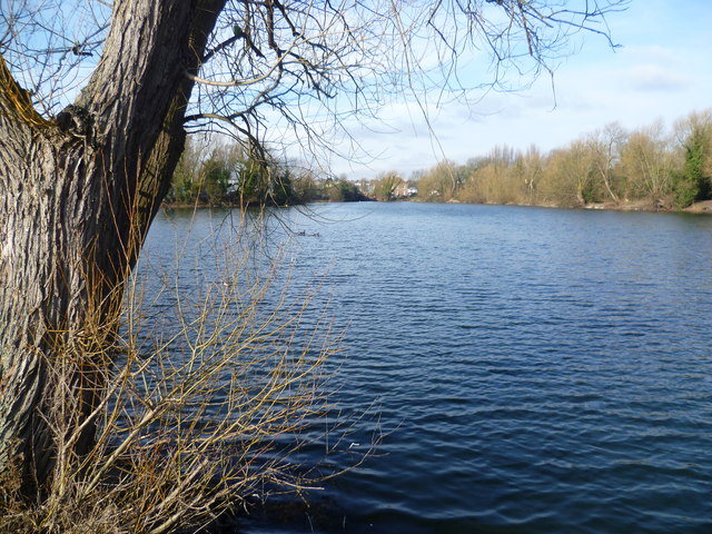
Brookland Lakes
Introduction
The photograph on this page of Brookland Lakes by Marathon as part of the Geograph project.
The Geograph project started in 2005 with the aim of publishing, organising and preserving representative images for every square kilometre of Great Britain, Ireland and the Isle of Man.
There are currently over 7.5m images from over 14,400 individuals and you can help contribute to the project by visiting https://www.geograph.org.uk

Image: © Marathon Taken: 23 Feb 2012
Brookland Lakes were formed between the Wars by quarrying for sand and gravel. At that time they were known as Ellingham's Ponds after the company which excavated them, and they were later called Brooklands Ponds after a nearby house. During the Second World War the lakes were covered by netting on floating wooden frames to stop German aircraft using them as a navigation aid to find the nearby Vickers Munitions Works. Princes Road lies behind the trees on the right. This was the original Dartford By-pass, opened on 19th November 1924 by the Prince of Wales, later Edward VIII. This view is looking in the reverse direction to the one at http://www.geograph.org.uk/photo/2818592

