Ditch at Househill
Introduction
The photograph on this page of Ditch at Househill by Anne Burgess as part of the Geograph project.
The Geograph project started in 2005 with the aim of publishing, organising and preserving representative images for every square kilometre of Great Britain, Ireland and the Isle of Man.

There are currently over 7.5m images from over 14,400 individuals and you can help contribute to the project by visiting https://www.geograph.org.uk
Ditch at Househill
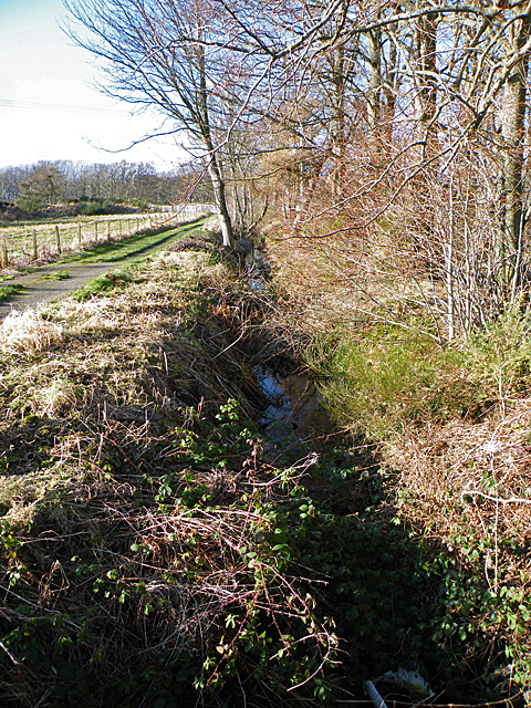
Image: © Anne Burgess Taken: 24 Feb 2012
Looking downstream. The advantage of coming along in winter is that the vegetation has partly died back so you can see the water. It drains a pond in the grounds of Househill into the River Nairn a couple of hundred metres away.
Images are licensed for reuse under creativecommons.org/licenses/by-sa/2.0
Image Location


Leaflet Map data © OpenStreetMap
Latitude
57.573528
Longitude
-3.864464