St Leonards Road
Introduction
The photograph on this page of St Leonards Road by Anne Burgess as part of the Geograph project.
The Geograph project started in 2005 with the aim of publishing, organising and preserving representative images for every square kilometre of Great Britain, Ireland and the Isle of Man.

There are currently over 7.5m images from over 14,400 individuals and you can help contribute to the project by visiting https://www.geograph.org.uk
St Leonards Road
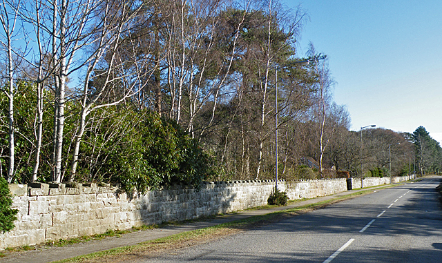
Image: © Anne Burgess Taken: 24 Feb 2012
This is the B9010 which takes the long way round to Elgin via Rafford and Dallas. The long wall is that of the grounds of Newbold House (see http://www.newboldhouse.org/ ) which is a community linked to the Findhorn Foundation.
Images are licensed for reuse under creativecommons.org/licenses/by-sa/2.0
Image Location
Latitude
57.602549
Longitude
-3.588139