Ridge-and-furrow field above Hopkins Farm, Lower Tysoe
Introduction
The photograph on this page of Ridge-and-furrow field above Hopkins Farm, Lower Tysoe by Liz Stone as part of the Geograph project.
The Geograph project started in 2005 with the aim of publishing, organising and preserving representative images for every square kilometre of Great Britain, Ireland and the Isle of Man.

There are currently over 7.5m images from over 14,400 individuals and you can help contribute to the project by visiting https://www.geograph.org.uk
Ridge-and-furrow field above Hopkins Farm, Lower Tysoe
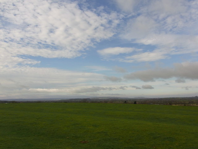
Image: © Liz Stone Taken: 23 Feb 2012
In the far distance are Ilmington Downs and Meon Hill.
Images are licensed for reuse under creativecommons.org/licenses/by-sa/2.0
Image Location
Latitude
52.103759
Longitude
-1.489687