The south end of Higher Lane
Introduction
The photograph on this page of The south end of Higher Lane by Bill Boaden as part of the Geograph project.
The Geograph project started in 2005 with the aim of publishing, organising and preserving representative images for every square kilometre of Great Britain, Ireland and the Isle of Man.

There are currently over 7.5m images from over 14,400 individuals and you can help contribute to the project by visiting https://www.geograph.org.uk
The south end of Higher Lane
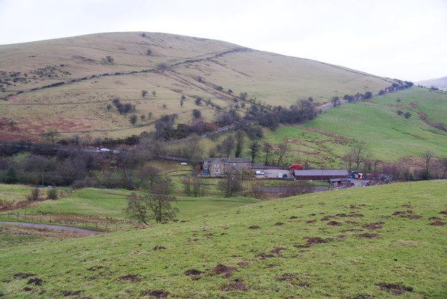
Image: © Bill Boaden Taken: 21 Feb 2012
It meets the Whaley Bridge to Macclesfield road below Reed Hill. This is looking down from Charles Head.
Images are licensed for reuse under creativecommons.org/licenses/by-sa/2.0
Image Location
Latitude
53.310185
Longitude
-2.033579