West Farm, Backworth Lane
Introduction
The photograph on this page of West Farm, Backworth Lane by Oliver Dixon as part of the Geograph project.
The Geograph project started in 2005 with the aim of publishing, organising and preserving representative images for every square kilometre of Great Britain, Ireland and the Isle of Man.

There are currently over 7.5m images from over 14,400 individuals and you can help contribute to the project by visiting https://www.geograph.org.uk
West Farm, Backworth Lane
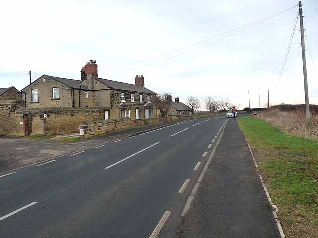
Image: © Oliver Dixon Taken: 23 Feb 2012
A short way to the north of here, the Burradon and Holywell Waggonway has been blocked by agriculture. As a result, the Reivers Cycle Route (National Cycle Network, Regional Route 10) http://www.cycle-n-sleep.co.uk/rinfo/map%20reivers.htm which links Tynemouth with Whitehaven via Kielder Forest and Carlisle has to follow the pavement alongside the busy Backworth Lane, B1322.
Images are licensed for reuse under creativecommons.org/licenses/by-sa/2.0
Image Location
Latitude
55.045442
Longitude
-1.547373