Footpath near Hole House
Introduction
The photograph on this page of Footpath near Hole House by Bill Boaden as part of the Geograph project.
The Geograph project started in 2005 with the aim of publishing, organising and preserving representative images for every square kilometre of Great Britain, Ireland and the Isle of Man.

There are currently over 7.5m images from over 14,400 individuals and you can help contribute to the project by visiting https://www.geograph.org.uk
Footpath near Hole House
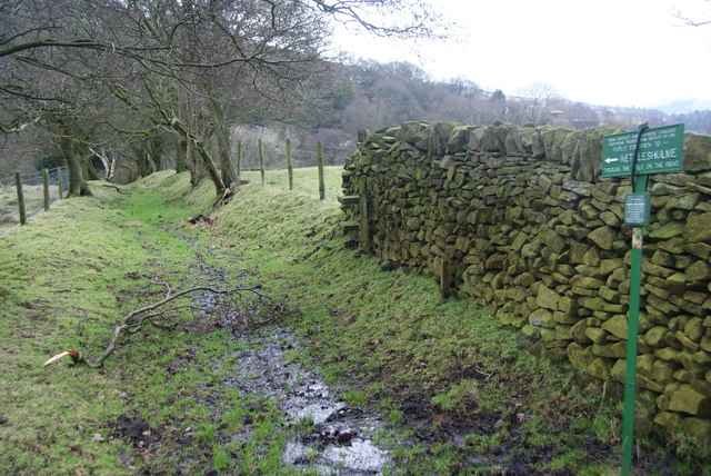
Image: © Bill Boaden Taken: 21 Feb 2012
This path cuts the corner between two lanes but also gives access to the path to Kettleshulme which is signed here. Almost the whole length of this path was extremely squelchy.
Images are licensed for reuse under creativecommons.org/licenses/by-sa/2.0
Image Location
Latitude
53.324388
Longitude
-2.027134