Fields and tower
Introduction
The photograph on this page of Fields and tower by Michael Dibb as part of the Geograph project.
The Geograph project started in 2005 with the aim of publishing, organising and preserving representative images for every square kilometre of Great Britain, Ireland and the Isle of Man.

There are currently over 7.5m images from over 14,400 individuals and you can help contribute to the project by visiting https://www.geograph.org.uk
Fields and tower
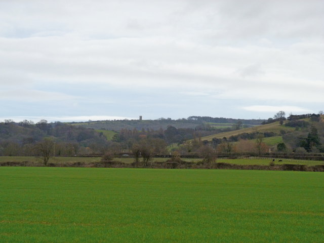
Image: © Michael Dibb Taken: 31 Dec 2011
The view from the footpath across the fields to the Cotswold escarpment with Broadway Tower prominent on the skyline. The first hedge marks the line of the dismantled Cheltenham to Honeybourne railway. The second hedge marks the line of the B4632 road (formerly the A46).
Images are licensed for reuse under creativecommons.org/licenses/by-sa/2.0
Image Location
Latitude
52.020669
Longitude
-1.900713