Footpath to the River Dee
Introduction
The photograph on this page of Footpath to the River Dee by John S Turner as part of the Geograph project.
The Geograph project started in 2005 with the aim of publishing, organising and preserving representative images for every square kilometre of Great Britain, Ireland and the Isle of Man.

There are currently over 7.5m images from over 14,400 individuals and you can help contribute to the project by visiting https://www.geograph.org.uk
Footpath to the River Dee
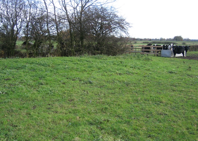
Image: © John S Turner Taken: 19 Nov 2006
The footpath heads for the field gate (and the cows) at this point. The raised bank of the drainage ditch can be seen at the left indicating the potential problems of these low-lying meadows. The cows were very docile.
Images are licensed for reuse under creativecommons.org/licenses/by-sa/2.0
Image Location
Latitude
53.091419
Longitude
-2.910819