Bridge over Blaydon Burn
Introduction
The photograph on this page of Bridge over Blaydon Burn by Andrew Curtis as part of the Geograph project.
The Geograph project started in 2005 with the aim of publishing, organising and preserving representative images for every square kilometre of Great Britain, Ireland and the Isle of Man.

There are currently over 7.5m images from over 14,400 individuals and you can help contribute to the project by visiting https://www.geograph.org.uk
Bridge over Blaydon Burn
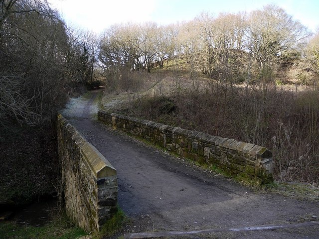
Image: © Andrew Curtis Taken: 19 Feb 2012
The path leads north from the Blaydon Burn Waggonway to Beweshill Lane. The mature stand of oak trees behind are said to support rare purple hairstreak butterflies and the green woodpecker.
Images are licensed for reuse under creativecommons.org/licenses/by-sa/2.0
Image Location
Latitude
54.960444
Longitude
-1.73417