Cannon Street House - Louth
Introduction
The photograph on this page of Cannon Street House - Louth by Richard Hoare as part of the Geograph project.
The Geograph project started in 2005 with the aim of publishing, organising and preserving representative images for every square kilometre of Great Britain, Ireland and the Isle of Man.

There are currently over 7.5m images from over 14,400 individuals and you can help contribute to the project by visiting https://www.geograph.org.uk
Cannon Street House - Louth
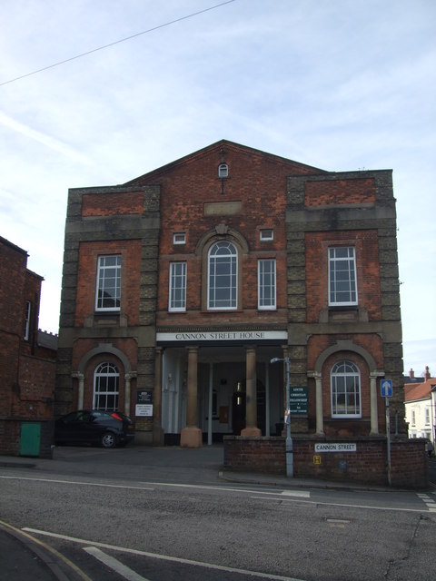
Image: © Richard Hoare Taken: 16 Feb 2012
Louth Christian Fellowship centre. A passerby reliably informed me she worked there when it was Council Offices.
Images are licensed for reuse under creativecommons.org/licenses/by-sa/2.0
Image Location
Latitude
53.368034
Longitude
-0.004813