Former riverside warehouse, flood lines
Introduction
The photograph on this page of Former riverside warehouse, flood lines by Mike Kirby as part of the Geograph project.
The Geograph project started in 2005 with the aim of publishing, organising and preserving representative images for every square kilometre of Great Britain, Ireland and the Isle of Man.

There are currently over 7.5m images from over 14,400 individuals and you can help contribute to the project by visiting https://www.geograph.org.uk
Former riverside warehouse, flood lines
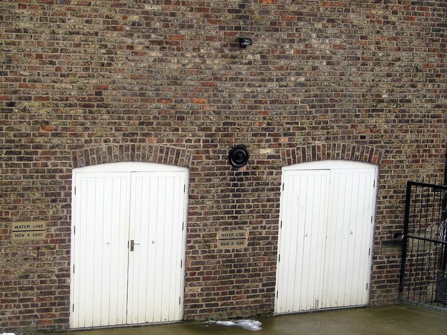
Image: © Mike Kirby Taken: 13 Feb 2012
In 2000 the rain really came down on Malton, causing flooding yet again as in 1999. Most of the land bordering the R.Derwent was flooded and the town came to a standstill. The river spilled over onto the railway, stopping all rail traffic for several days. Seeing the 2000 floodline on the left of the building shows how high the river rose above normal levels. See Image
Images are licensed for reuse under creativecommons.org/licenses/by-sa/2.0
Image Location
Latitude
54.13318
Longitude
-0.790915