Moormill Lane entering Kibblesworth
Introduction
The photograph on this page of Moormill Lane entering Kibblesworth by Trevor Littlewood as part of the Geograph project.
The Geograph project started in 2005 with the aim of publishing, organising and preserving representative images for every square kilometre of Great Britain, Ireland and the Isle of Man.

There are currently over 7.5m images from over 14,400 individuals and you can help contribute to the project by visiting https://www.geograph.org.uk
Moormill Lane entering Kibblesworth
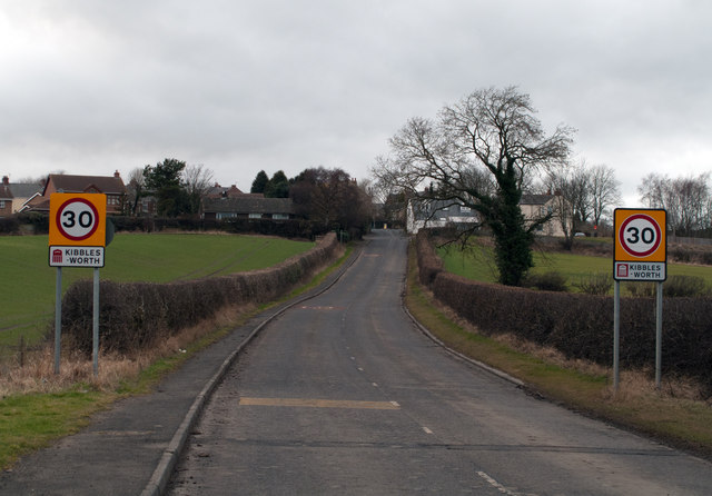
Image: © Trevor Littlewood Taken: 22 Feb 2012
Kibblesworth is a village surrounded by farmland yet within the Metropolitan Borough of Gateshead. The village has seen coal mining for centuries but only in Victorian times did the industry become large scale; the mine there closed in 1974. It seems that the penalty of having a long name is that on road signs the word is split and hyphenated!
Images are licensed for reuse under creativecommons.org/licenses/by-sa/2.0
Image Location
Latitude
54.904938
Longitude
-1.611487