Former St Luke's Church
Introduction
The photograph on this page of Former St Luke's Church by Bill Boaden as part of the Geograph project.
The Geograph project started in 2005 with the aim of publishing, organising and preserving representative images for every square kilometre of Great Britain, Ireland and the Isle of Man.

There are currently over 7.5m images from over 14,400 individuals and you can help contribute to the project by visiting https://www.geograph.org.uk
Former St Luke's Church
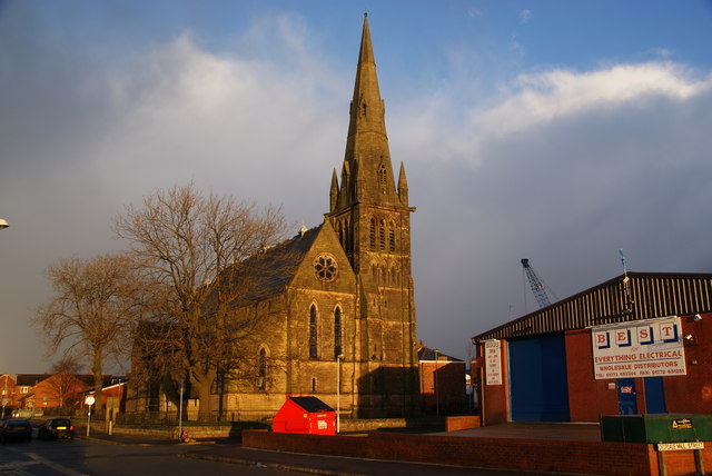
Image: © Bill Boaden Taken: 18 Feb 2012
This is now known as Bridge House and is operated by Eaves Brook, a provider of social housing.
Images are licensed for reuse under creativecommons.org/licenses/by-sa/2.0
Image Location
Latitude
53.765925
Longitude
-2.683689