Marsh and drumlins, Downpatrick
Introduction
The photograph on this page of Marsh and drumlins, Downpatrick by Albert Bridge as part of the Geograph project.
The Geograph project started in 2005 with the aim of publishing, organising and preserving representative images for every square kilometre of Great Britain, Ireland and the Isle of Man.

There are currently over 7.5m images from over 14,400 individuals and you can help contribute to the project by visiting https://www.geograph.org.uk
Marsh and drumlins, Downpatrick
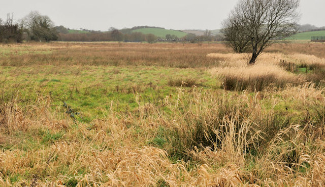
Image: © Albert Bridge Taken: 22 Feb 2012
A scene typical of the topography of this part of Co Down, drumlins Image forming a background to the low marshy land between the Ballydugan Road and the Quoile Image
Images are licensed for reuse under creativecommons.org/licenses/by-sa/2.0
Image Location
Latitude
54.320548
Longitude
-5.724043