Vale View Farm
Introduction
The photograph on this page of Vale View Farm by Nigel Mykura as part of the Geograph project.
The Geograph project started in 2005 with the aim of publishing, organising and preserving representative images for every square kilometre of Great Britain, Ireland and the Isle of Man.

There are currently over 7.5m images from over 14,400 individuals and you can help contribute to the project by visiting https://www.geograph.org.uk
Vale View Farm
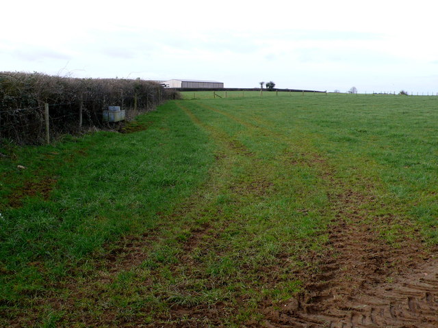
Image: © Nigel Mykura Taken: 20 Feb 2012
This shows one of the larger barns at the farm which is on the north side of Clatcombe Lane just east of White Post Gate.
Images are licensed for reuse under creativecommons.org/licenses/by-sa/2.0
Image Location


Leaflet Map data © OpenStreetMap
Latitude
50.971731
Longitude
-2.509676