River Gaunless
Introduction
The photograph on this page of River Gaunless by Gordon Hatton as part of the Geograph project.
The Geograph project started in 2005 with the aim of publishing, organising and preserving representative images for every square kilometre of Great Britain, Ireland and the Isle of Man.

There are currently over 7.5m images from over 14,400 individuals and you can help contribute to the project by visiting https://www.geograph.org.uk
River Gaunless
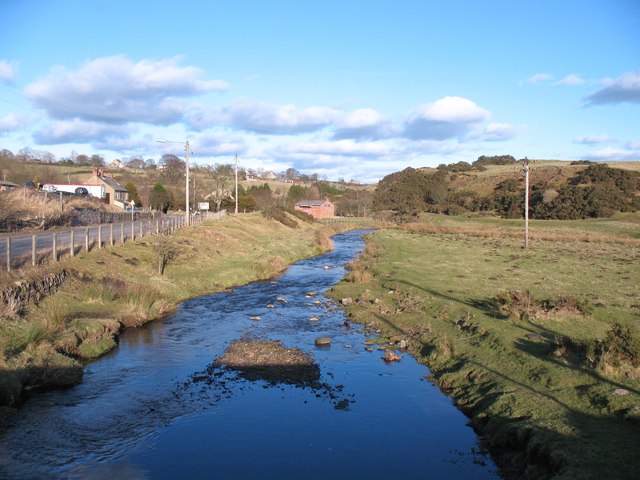
Image: © Gordon Hatton Taken: 19 Feb 2012
Taken from the road bridge at The Slack, and looking downstream. The Gaunless rises as several small becks to the west of here, and flows generally ENE to join the Wear at Bishop Auckland.
Images are licensed for reuse under creativecommons.org/licenses/by-sa/2.0
Image Location


Leaflet Map data © OpenStreetMap
Latitude
54.623527
Longitude
-1.825423