Lane past The Old Rectory, Honeychurch
Introduction
The photograph on this page of Lane past The Old Rectory, Honeychurch by Derek Harper as part of the Geograph project.
The Geograph project started in 2005 with the aim of publishing, organising and preserving representative images for every square kilometre of Great Britain, Ireland and the Isle of Man.

There are currently over 7.5m images from over 14,400 individuals and you can help contribute to the project by visiting https://www.geograph.org.uk
Lane past The Old Rectory, Honeychurch
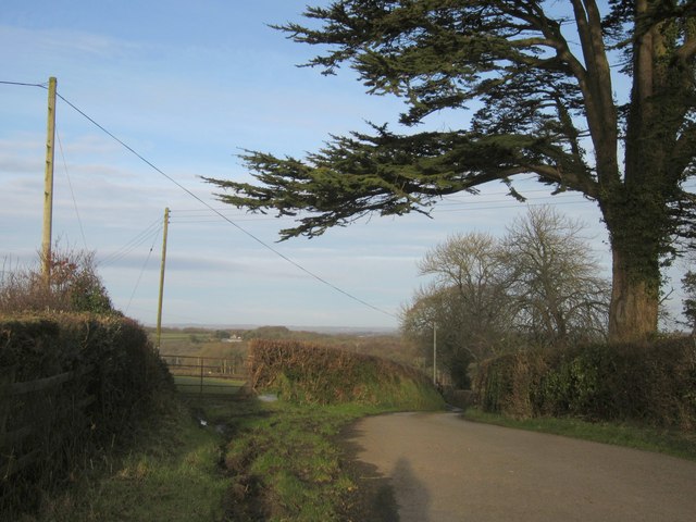
Image: © Derek Harper Taken: 20 Feb 2012
A peek round the corner in Image, with the same cedar tree and a gate into a field.
Images are licensed for reuse under creativecommons.org/licenses/by-sa/2.0
Image Location
Latitude
50.812327
Longitude
-3.948661