Fishergate Hill
Introduction
The photograph on this page of Fishergate Hill by Bill Boaden as part of the Geograph project.
The Geograph project started in 2005 with the aim of publishing, organising and preserving representative images for every square kilometre of Great Britain, Ireland and the Isle of Man.

There are currently over 7.5m images from over 14,400 individuals and you can help contribute to the project by visiting https://www.geograph.org.uk
Fishergate Hill
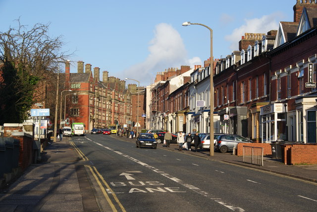
Image: © Bill Boaden Taken: 18 Feb 2012
This used to be one of the main routes through Preston but traffic is now considerably reduced, being taken slightly to the north.
Images are licensed for reuse under creativecommons.org/licenses/by-sa/2.0
Image Location
Latitude
53.756696
Longitude
-2.709627