Countryside near Honeychurch
Introduction
The photograph on this page of Countryside near Honeychurch by Derek Harper as part of the Geograph project.
The Geograph project started in 2005 with the aim of publishing, organising and preserving representative images for every square kilometre of Great Britain, Ireland and the Isle of Man.

There are currently over 7.5m images from over 14,400 individuals and you can help contribute to the project by visiting https://www.geograph.org.uk
Countryside near Honeychurch
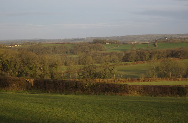
Image: © Derek Harper Taken: 20 Feb 2012
From the lane between the village and Fishingclose Cross, looking across the head of the valley of a headwater of the Hole Brook. The distant barn just right of centre, and the fields near it, are in Image
Images are licensed for reuse under creativecommons.org/licenses/by-sa/2.0
Image Location
Latitude
50.8139
Longitude
-3.94603