Langmead Farm
Introduction
The photograph on this page of Langmead Farm by Derek Harper as part of the Geograph project.
The Geograph project started in 2005 with the aim of publishing, organising and preserving representative images for every square kilometre of Great Britain, Ireland and the Isle of Man.

There are currently over 7.5m images from over 14,400 individuals and you can help contribute to the project by visiting https://www.geograph.org.uk
Langmead Farm
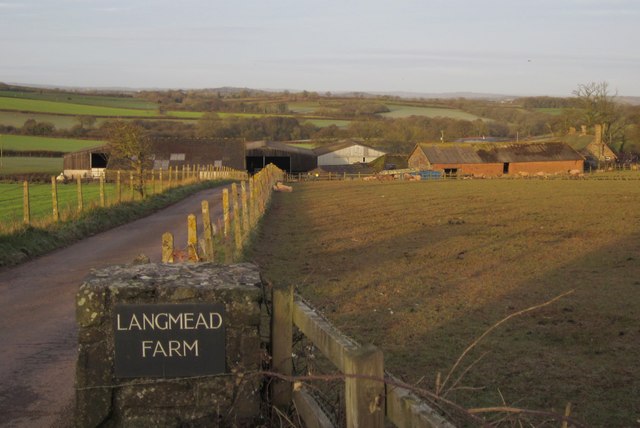
Image: © Derek Harper Taken: 20 Feb 2012
The entrance drive is seen from the A3124. See also Image The farmhouse, on the extreme right, is listed http://www.britishlistedbuildings.co.uk/en-93029-langmead-farmhouse-sampford-courtenay .
Images are licensed for reuse under creativecommons.org/licenses/by-sa/2.0
Image Location
Latitude
50.801507
Longitude
-3.934161