Heading for the Interceptor
Introduction
The photograph on this page of Heading for the Interceptor by Neil Owen as part of the Geograph project.
The Geograph project started in 2005 with the aim of publishing, organising and preserving representative images for every square kilometre of Great Britain, Ireland and the Isle of Man.

There are currently over 7.5m images from over 14,400 individuals and you can help contribute to the project by visiting https://www.geograph.org.uk
Heading for the Interceptor
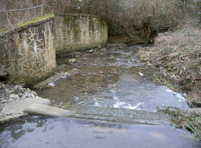
Image: © Neil Owen Taken: 15 Feb 2012
The Malago is a quiet and unassuming stream most of the time. However, during the great flood of July 1968 it became a massive torrent and caused severe damage further into Bedminster. The Malago was then subject to major defence schemes - hence the storm Interceptor at the bottom of the Manor valley, built in the early 70s. See Image] for the upper section.
Images are licensed for reuse under creativecommons.org/licenses/by-sa/2.0
Image Location
Latitude
51.420556
Longitude
-2.615036