Tapsays House, Marnhull
Introduction
The photograph on this page of Tapsays House, Marnhull by Maigheach-gheal as part of the Geograph project.
The Geograph project started in 2005 with the aim of publishing, organising and preserving representative images for every square kilometre of Great Britain, Ireland and the Isle of Man.

There are currently over 7.5m images from over 14,400 individuals and you can help contribute to the project by visiting https://www.geograph.org.uk
Tapsays House, Marnhull
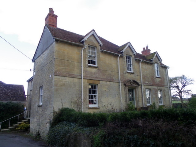
Image: © Maigheach-gheal Taken: 19 Feb 2012
The house stands on Burton Street. There is an Ordnance Survey bench mark on the north face of the building.
Images are licensed for reuse under creativecommons.org/licenses/by-sa/2.0
Image Location
Latitude
50.971338
Longitude
-2.315552