Westerwood Farm (ruin)
Introduction
The photograph on this page of Westerwood Farm (ruin) by Robert Murray as part of the Geograph project.
The Geograph project started in 2005 with the aim of publishing, organising and preserving representative images for every square kilometre of Great Britain, Ireland and the Isle of Man.

There are currently over 7.5m images from over 14,400 individuals and you can help contribute to the project by visiting https://www.geograph.org.uk
Westerwood Farm (ruin)
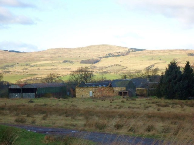
Image: © Robert Murray Taken: 15 Feb 2012
Sited almost on top of a Roman fort it has only fallen into disuse in fairly recent times as its land was taken over by a golf club.
Images are licensed for reuse under creativecommons.org/licenses/by-sa/2.0
Image Location
Latitude
55.973193
Longitude
-3.986895