High Street
Introduction
The photograph on this page of High Street by Ian Capper as part of the Geograph project.
The Geograph project started in 2005 with the aim of publishing, organising and preserving representative images for every square kilometre of Great Britain, Ireland and the Isle of Man.

There are currently over 7.5m images from over 14,400 individuals and you can help contribute to the project by visiting https://www.geograph.org.uk
High Street
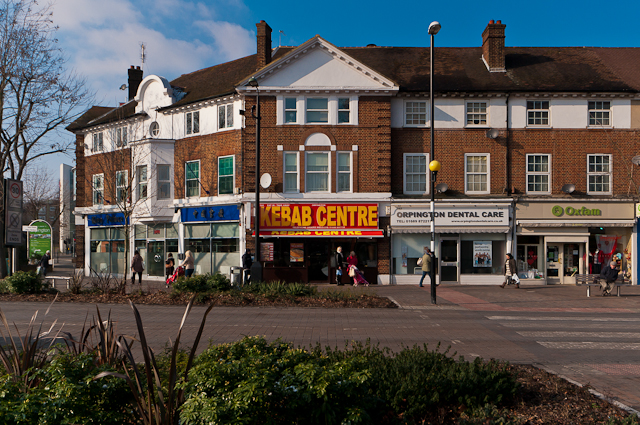
Image: © Ian Capper Taken: 10 Feb 2012
The southernmost section of Central Parade, dating from around 1932, at the point where High Street ends at the War Memorial roundabout.
Images are licensed for reuse under creativecommons.org/licenses/by-sa/2.0
Image Location
Latitude
51.373504
Longitude
0.097463