Bridleway at South Side
Introduction
The photograph on this page of Bridleway at South Side by Gordon Hatton as part of the Geograph project.
The Geograph project started in 2005 with the aim of publishing, organising and preserving representative images for every square kilometre of Great Britain, Ireland and the Isle of Man.

There are currently over 7.5m images from over 14,400 individuals and you can help contribute to the project by visiting https://www.geograph.org.uk
Bridleway at South Side
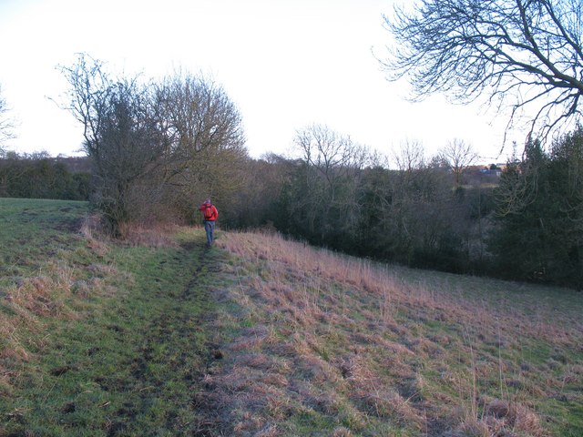
Image: © Gordon Hatton Taken: 19 Feb 2012
Bridleway heading down into the valley below South Side. A check on old OS maps would suggest that this is also the line of a former colliery tramway.
Images are licensed for reuse under creativecommons.org/licenses/by-sa/2.0
Image Location
Latitude
54.63136
Longitude
-1.835923