Betty Dawes Hill, Stourport-on-Severn
Introduction
The photograph on this page of Betty Dawes Hill, Stourport-on-Severn by P L Chadwick as part of the Geograph project.
The Geograph project started in 2005 with the aim of publishing, organising and preserving representative images for every square kilometre of Great Britain, Ireland and the Isle of Man.

There are currently over 7.5m images from over 14,400 individuals and you can help contribute to the project by visiting https://www.geograph.org.uk
Betty Dawes Hill, Stourport-on-Severn
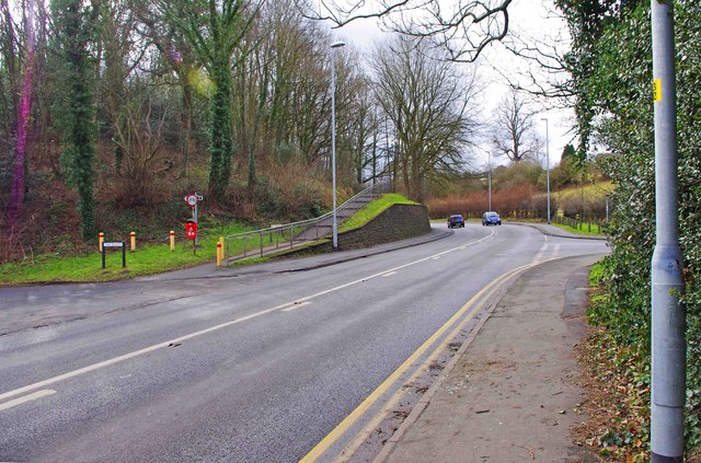
Image: © P L Chadwick Taken: 19 Feb 2012
The road coming in on the left is called The Rough. The section of the main road ahead is called Betty Dawes Hill. It is part of the A451 road. The road on the right is Areley Lane.
Images are licensed for reuse under creativecommons.org/licenses/by-sa/2.0
Image Location
Latitude
52.334847
Longitude
-2.286575